Resources
This page contains some key resources on walking and cycling, including an archive of the documents produced by the Australian Bicycle Council.
| Date Added | |||
|---|---|---|---|
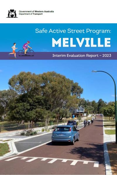 |
Safe Active Streets Pilot Program Evaluation Department of Transport WA The Safe Active Street (SAS) Program’s vision is to create shared street spaces that provide a convenient travel option within a safe and attractive environment for people riding and walking of all ages and abilities. To achieve the vision of the SAS Program the following objectives have been established:
The SAS Pilot Program is being evaluated in line with DoT’s SAS Pilot Program Evaluation Plan, which has adopted a summative evaluation framework that considers impacts, cost effectiveness and comparability between projects. The SAS Pilot Program Evaluation Plan clearly details in an Outcomes Measurement Framework the specific indicators, targets, and data sources to adequately evaluate the program. |
05/04/2023 | View |
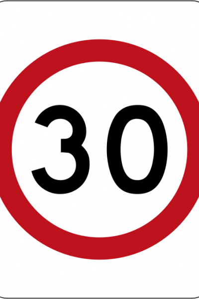 |
Safer Speeds Case Study - Safe Active Streets, Perth, Western Australia Department of Transport, WA STREET NAME: Multiple SUBURB: Multiple MUNICIPALITY: Multiple STATE & COUNTRY: Western Australia, Australia SPEED REDUCTION: From 50 km/h to 30 km/h DATE IMPLEMENTED: September 2017 - ongoing SCHEME INCLUDED:
COST: Not available ADDITIONAL INFORMATION: Evaluation currently being undertaken and is due to be released in 2023. LESSONS LEARNED: Scheme is ongoing, with more locations continually being added. Lessons from previous implementations are being introduced for each one. RESULTS OF EVALUATION: Not yet available (due 2023) |
19/12/2022 | View |
 |
Greenways and Bike Boulevards Department for Infrastructure and Transport, South Australia Greenways are dedicated walking and cycling routes following public transport corridors or linear open space, such as along rivers. |
15/07/2021 | View |
 |
Safe Active Streets Program Department of Transport, WA An innovative program designed to make streets, friendlier and safer for all users including people in cars and those riding bikes and walking. |
06/07/2021 | View |