Resources
This page contains some key resources on walking and cycling, including an archive of the documents produced by the Australian Bicycle Council.
| Date Added | |||
|---|---|---|---|
 |
Pedestrian Demand Forecasting Tool Department of Transport and Main Roads, Queensland This tool provides an implementation of the three pedestrian forecasting procedures described in the TMR Pedestrian demand forecasting guideline. The guidance describes three forecasting procedures:
|
17/07/2023 | View |
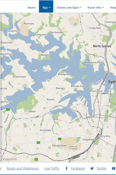 |
Trip Planner Transport for NSW |
12/04/2022 | View |
 |
Travel planning toolkit guidelines and resources Waka Kotahi NZ Transport Agency The Waka Kotahi NZ Transport Agency travel planning toolkit provides you with guidelines and resources to make business trips and staff travel to and from work more efficient. You will find links to many resources to help you develop your workplace travel plan. |
07/04/2022 | View |
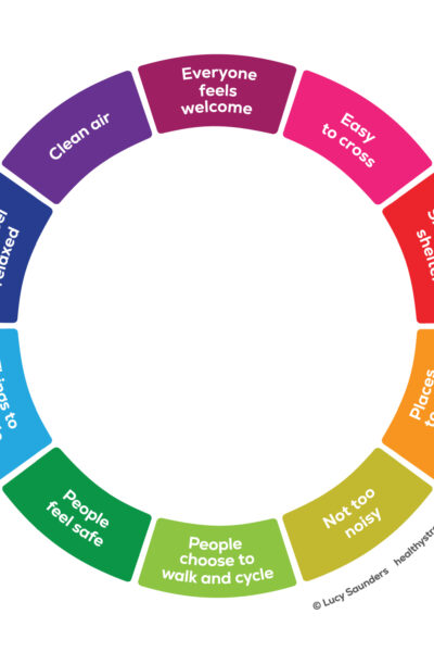 |
Healthy Streets Healthy Streets Towns and cities everywhere are facing the challenge of keeping communities healthy and happy. Healthy Streets® offers clients around the world an evidence-based approach to creating fairer, sustainable and attractive urban spaces. |
07/04/2022 | View |
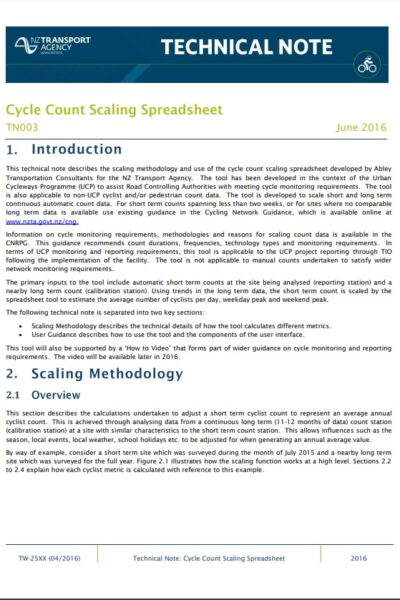 |
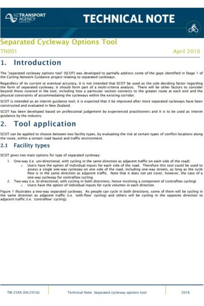
Technical note #3: Cycle Count Scaling Spreadsheet Waka Kotahi NZ Transport Agency Describes scaling methodology and use of the Cycle count scaling spreadsheet tool, used to scale permanent and short-term count data for average daily cyclist values |
19/10/2021 | View |
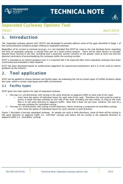 |
Technical note #1: Separated Cycleway Options Tool Waka Kotahi NZ Transport Agency Guidance on use of the Separated cycleway options tool (SCOT), used to assist in the decision on whether to provide two 1-way facilities or a single 2-way facility on a particular route |
19/10/2021 | View |
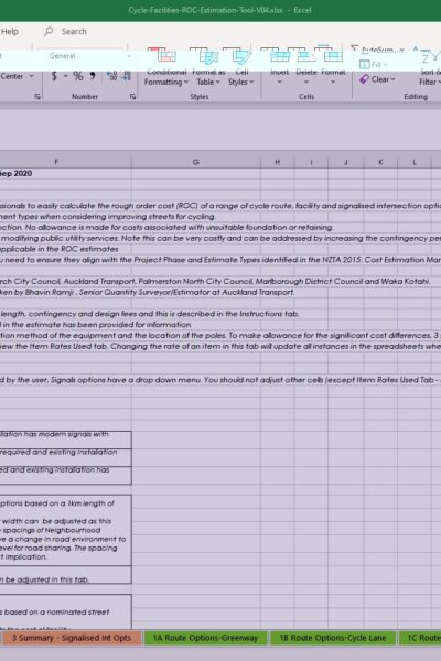 |
Cycle Facility Cost Estimation Tool Waka Kotahi NZ Transport Agency Tool to calculate and compare the rough order cost of a range of cycle route, facility and signalised intersection options. |
24/09/2021 | View |
 |
Cycleway Separation Device Selection Matrix Waka Kotahi NZ Transport Agency Matrix comparing types of cycleway separation device, and issues to be considered. |
24/09/2021 | View |
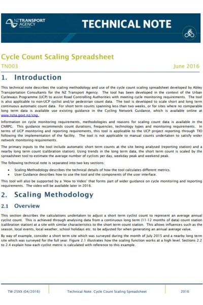 |
Cycle Count Scaling Spreadsheet Tool Waka Kotahi NZ Transport Agency Allows permanent and short-term count data to be scaled to average daily cyclist values. |
24/09/2021 | View |
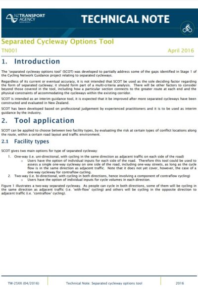 |
Separated Cycleway Options Tool Waka Kotahi NZ Transport Agency Tool to assist in the decision on whether to provide two 1-way facilities or a single 2-way facility on a particular route. |
21/09/2021 | View |
 |
Cycling Photo Library Waka Kotahi NZ Transport Agency Browse our collection of vibrant photos showcasing kiwi landmarks and everyday New Zealanders cycling in a variety of settings. |
18/08/2021 | View |
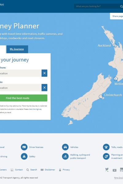 |
Journey Planner Waka Kotahi NZ Transport Agency |
13/08/2021 | View |
 |
Cycling and Walking Maps Department for Infrastructure and Transport, South Australia Hard copy Cycling and Walking Maps will assist you to make active travel choices in Adelaide’s metropolitan suburbs. You can use the maps to plan safe walking or cycling routes to local shops, parks and services. |
15/07/2021 | View |
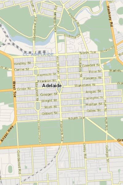 |
Cycle Instead Department for Infrastructure and Transport, South Australia Cycle Instead works as an interactive Journey Planner for your bike trip. It shows you the Bikedirect network across metropolitan Adelaide so you can quickly choose the most direct and comfortable route for your journey using secondary roads, bike lanes, shared paths, greenways and bicycle boulevards. |
13/07/2021 | View |
 |
Reporting a hazard or crash Department of Transport, WA Timely reporting of hazards from the community is vital to maintaining our cycling infrastructure. Find out what hazards to report and how to do so. |
07/07/2021 | View |
 |
Australasian Pedestrian Crossing Facility Selection Tool Austroads The Pedestrian Facility Selection Tool is designed to help Australian and New Zealand practitioners select the most appropriate type of pedestrian crossing based on walkability, safety and economic outcomes. |
20/05/2021 | View |
